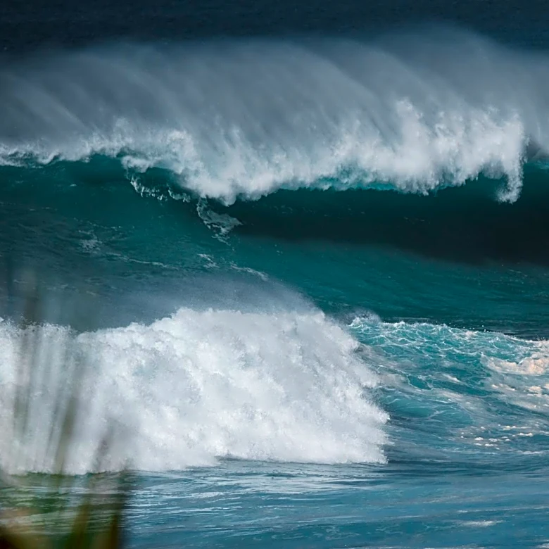
High Surf and Safety Warnings Issued as Hurricane Fausto Approaches Hawaii
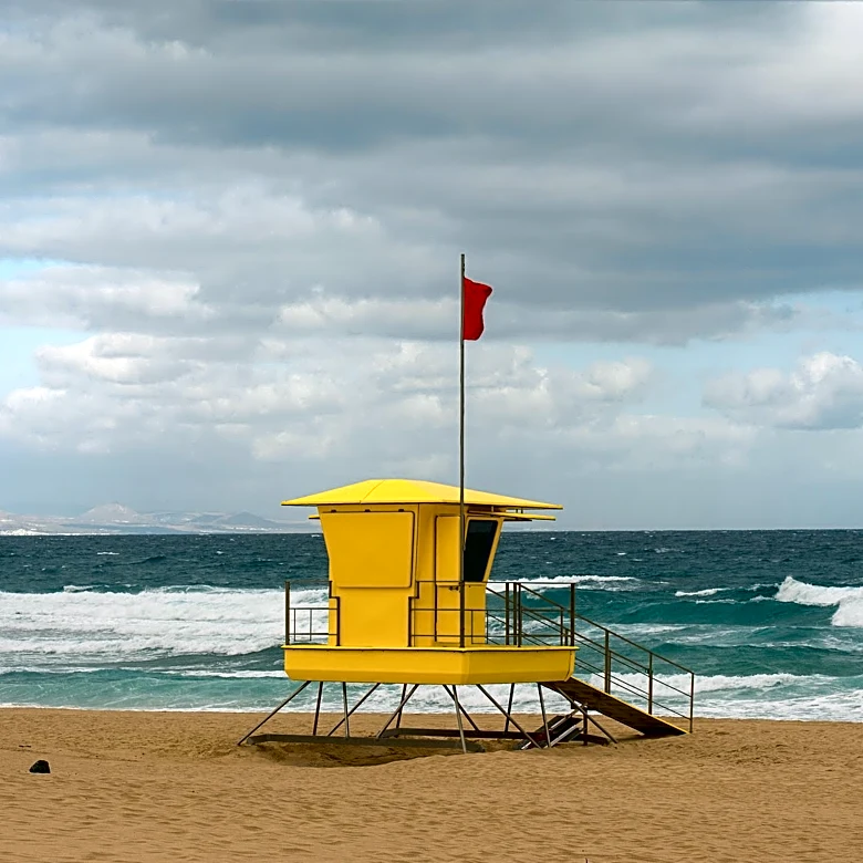
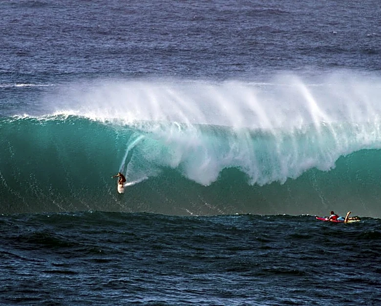
Hurricane Fausto, currently a Category 2 storm with maximum sustained winds of 100 mph (160 km/h), is moving west at 13 mph (21 km/h) and is expected to weaken into a tropical storm as it passes north of the Hawaiian Islands on Tuesday and Wednesday. As of 5 p.m. Saturday, the storm was located approximately 1,060 miles (1,706 km) from Hilo, Hawaii. The storm is generating significant swells, with surf expected to build along east-facing shores starting today and continuing through Tuesday. A high-surf advisory is already in effect for the south shores of all islands due to a separate south swell, with waves reaching 7 to 10 feet (2.1 to 3 meters). The Department of Land and Natural Resources (DLNR) has placed 'area closed' signs at high-risk locations, such as the Makapuu tidepools, to prevent accidents.