NASA's Aqua Satellite Captures Prescribed Fires in Australia's Northern Territory
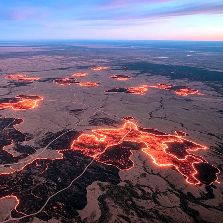
NASA's Aqua satellite has captured images of smoke and fires in Australia's Northern Territory, specifically in the Top End and Arnhem Land regions. These fires, observed on May 28, 2026, are part of a pattern of prescribed burns conducted by land managers. The practice involves intentionally setting fires to manage the landscape, creating firebreaks, and reducing fuel loads early in the dry season. This method aims to prevent more destructive and emissions-intensive fires later in the season. The prescribed burns are a combination of Indigenous land management practices and modern technologies, forming part of large-scale programs like the West Arnhem Land Fire Abatement project. Satellite observations suggest these efforts are effective in shifting fire activity to earlier in the dry season, reducing high-intensity fires and emissions.