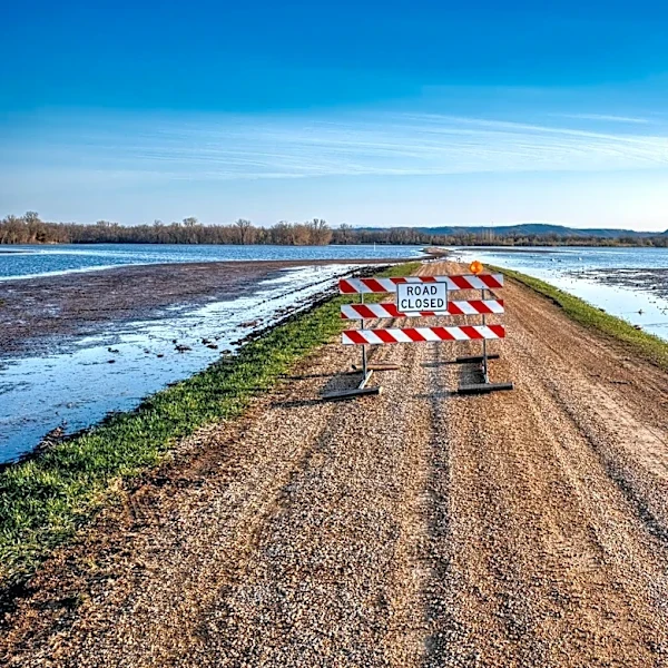
Mississippi River Levels Monitored for Flood and Transportation Impacts in St. Louis, Missouri
The Mississippi River level at St. Louis, Missouri, is being closely monitored for its implications on shipping, agriculture, and flood management. According to GrainStats, the river level data includes daily historical measurements and seasonal patterns based on government forecasts. The data is presented with color-coded flood stage indicators to highlight major, moderate, and minor flooding thresholds. Advanced statistics provide insights into historical extremes, average fluctuations, and deviation analysis. The current river level at St. Louis is not explicitly mentioned in the source, but the data is sourced from official river gauges and updated regularly to ensure accuracy.