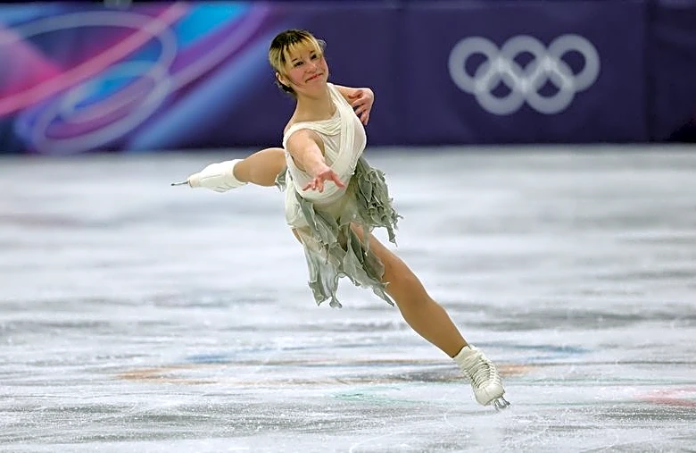
NASA's AVIRIS-5 Begins Mapping Lithium and Critical Minerals in the American West
NASA has launched its new imaging spectrometer, AVIRIS-5, to conduct operational flights over the western United States. This initiative aims to map rocks containing lithium and other critical minerals as part of the Geological Earth Mapping Experiment (GEMx) campaign, in collaboration with the U.S. Geological Survey (USGS). The AVIRIS-5, located in the nose of NASA's ER-2 aircraft, offers twice the spatial resolution compared to its predecessor, enabling detailed mapping of mineral resources. The spectrometer's flights have covered over 200 hours this year, focusing on areas in California, Nevada, and other states. The data collected will aid in accelerating the discovery and assessment of resources crucial for the energy transition.