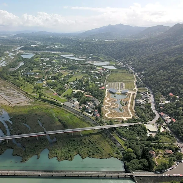
NASA's NLDAS-2 Dataset Enhances Watershed Monitoring Across the U.S.
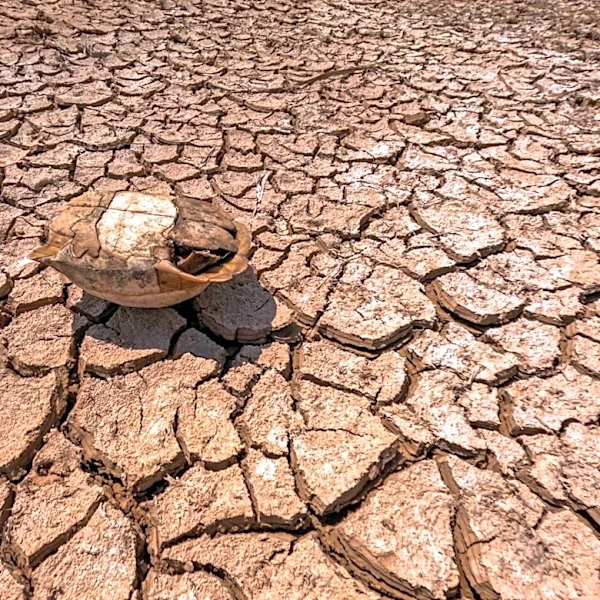
NASA's North American Land Data Assimilation System, Phase 2 (NLDAS-2), is revolutionizing watershed monitoring and management by integrating satellite data with advanced modeling systems. The NLDAS-2 dataset, which spans from January 1979 to the present, provides near real-time environmental measurements such as precipitation, temperature, humidity, wind, solar radiation, and potential evapotranspiration. This data is plotted on a 12-km grid with hourly updates, covering central North America. The Agricultural Integrated Management System (AIMS), developed in collaboration with the USDA, now incorporates NLDAS-2 data, enabling users to simulate runoff, sediment, and agricultural pollution loadings for any U.S. watershed. This integration allows for improved land management, water quality assessments, and decision-making, particularly in regions lacking local climate observations. According to NASA, this approach bridges critical data gaps, offering a scalable solution for environmental planning and resour...