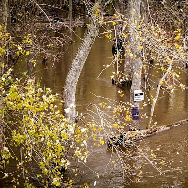
Cumberland River Flooding and Tornado Risks in Burns, Tennessee
Burns, Tennessee, faces significant weather risks due to its location in Dixie Alley and proximity to the Cumberland River. The RainViewer radar system provides real-time NEXRAD data from KOHX (Nashville), updated every 4–6 minutes with a resolution of up to 250 meters. This radar is particularly useful during seasonal transitions and peak weather risk periods, such as March–May and October–November, when tornadoes and flooding are most likely. Burns experiences localized flooding during intense rain events, especially in low-lying areas near drainage channels. The radar helps residents track storm movement and prepare for changing conditions.