Severe Weather Threat Overnight in Houston and Southeast Texas
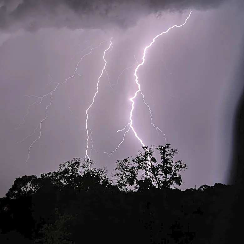
The Houston area and Southeast Texas are under a severe thunderstorm watch until 5 a.m. Monday, as a strong line of storms moves through the region. According to the National Weather Service, these storms could bring wind gusts up to 70 mph, hail as large as ping pong balls, and isolated tornadoes. The watch covers areas from Houston south to the Gulf Coast, west toward Victoria, and north toward College Station. Early storms before sunset may intensify quickly due to atmospheric instability and wind shear, with large hail and damaging winds being the primary concerns. Later tonight, as a cold front advances, storms are expected to organize into a broken line of thunderstorms, bringing heavy rain and frequent lightning. The severe weather is projected to move offshore by daybreak Monday.