Satellite Mapping Uncovers Archaeological Sites in Amazon Floodplain
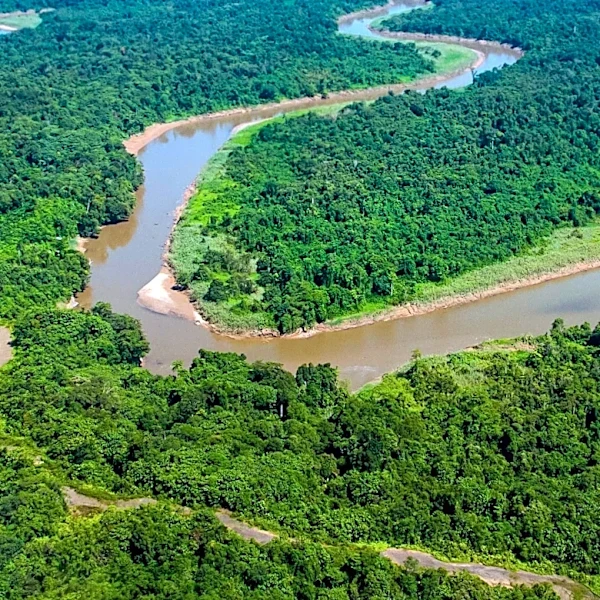
Researchers have utilized satellite mapping to uncover hidden archaeological sites in the Amazon floodplain, specifically in the Lower Amazon near Alenquer, Pará state, Brazil. The study challenges the belief that erosion and sediment deposition have erased ancient traces in this dynamic environment. By analyzing satellite imagery, the team identified fluvial levees, elevated landforms created by river sediment deposits, which may have supported past human settlements. Fieldwork confirmed that some areas identified through satellite data corresponded to levees, with archaeological materials such as pottery and stone tools found at these sites. The research highlights the potential of combining satellite technology with local knowledge to locate and study archaeological sites in challenging environments.