Understanding Flood Zones and Property Risks
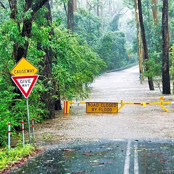
Flood zones, as defined by FEMA, categorize areas based on their likelihood of flooding, with zones labeled A or V indicating higher risk and Zone X representing moderate or lower risk. A '100-year flood zone' signifies a 1% chance of flooding in any given year, not a once-in-a-century event. However, flood maps have limitations, as they rely on historical data and models that may not account for changing conditions like urban development, aging drainage systems, or climate change. In 2024, floods caused over $8.8 billion in damages across the U.S., with nearly $3.9 billion occurring in areas not classified as high-risk. Homeowners are encouraged to assess their property's specific risk factors, such as elevation, drainage, and local flood history, to better understand their exposure.