Flash Flooding Likely Across Parts of Indiana, Ohio, West Virginia, and Kentucky
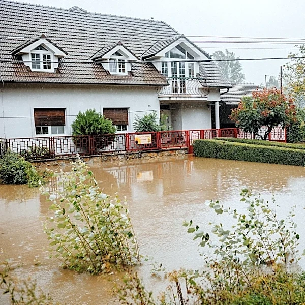
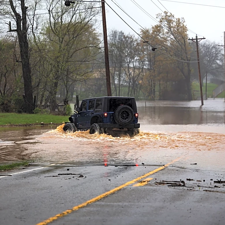
The Weather Prediction Center (WPC) has issued Mesoscale Precipitation Discussion #1007, highlighting the potential for flash flooding across central Indiana, southern Ohio, central West Virginia, and northeast Kentucky. As of 9:02 AM EDT on August 11, 2026, multiple thunderstorm complexes are tracking southeast through the region. These storms are producing heavy rainfall, with rates exceeding 2 inches per hour in some areas. Rainfall totals since midnight have reached 2-4 inches in parts of southeast Ohio and near Fort Wayne, Indiana. The storms are fueled by a favorable thermodynamic environment, including high mixed-layer CAPE values (2000-3000 J/kg) and precipitable water levels of 1.75 to 2 inches.