Munich Conducts Large-Scale Seismic Survey for Geothermal Energy Mapping
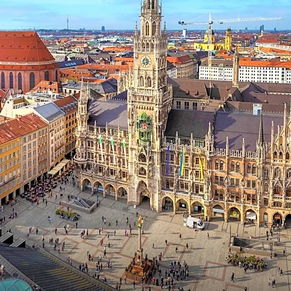
Munich is undergoing a comprehensive seismic survey, known as the GIGA-M study, to create a detailed 3D map of its underground water resources. The primary goal is to identify optimal locations for geothermal heat and power plants. The survey involves deploying over 120,000 geophones at approximately 20-meter intervals in north-south lines, spaced about 300 meters apart. Simultaneously, 'vibrotrucks' traverse east-west routes, generating mini-earthquakes every 20 meters. These trucks emit frequency sweeps, from about 6 Hz to 96 Hz, sending shockwaves deep into the earth. Geophones then record the reflections of these waves as they bounce off different geological layers, allowing scientists to calculate the depth and characteristics of underground structures. The survey covers a vast area of 1,000 square kilometers and involves 86,000 excitation points. This extensive mapping effort aims to fill gaps from previous smaller surveys and provide a complete picture of the Jurassic-era water layer, which is appro...