Cornell Researchers Map NYC Trees to Combat Urban Heat, Inform City Planning
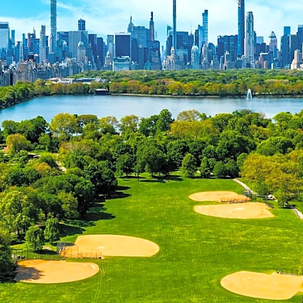
Researchers from Cornell University have developed a comprehensive, 'wall-to-wall' map identifying 1.8 million individual trees across New York City. This innovative approach, detailed in a study published in Scientific Data, utilizes satellite imagery, on-the-ground datasets, and 3D lidar data to identify tree types with 82% accuracy. The map includes trees on private property, in natural areas, and other previously unsurveyed locations, which account for an estimated 65% of the city's tree canopy. This project, part of the Cool Trees initiative led by Dr. Arnab Ghosh, aims to optimize tree placement for urban cooling, a critical need as New York City experiences more frequent and intense heat waves. The data will inform decisions on which tree types are most effective for cooling, reducing allergens, and managing invasive pests.