NASA Tracks Smoke from Canadian Wildfires Affecting U.S. Air Quality
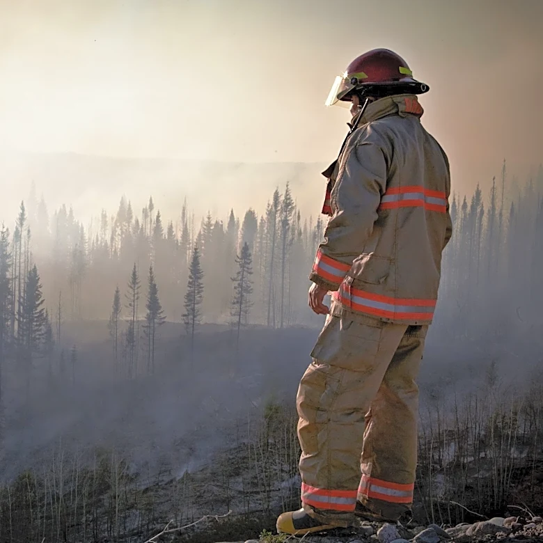
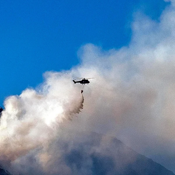
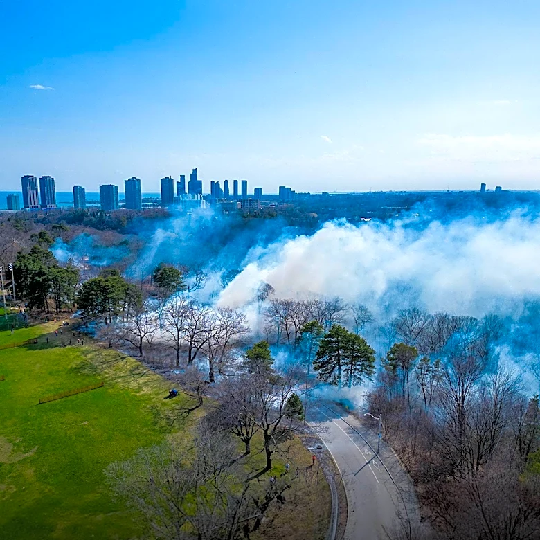
In July 2026, wildfires in Canada intensified, leading to significant smoke plumes affecting air quality across North America. According to NASA, the fires, particularly in Ontario and northern Minnesota, resulted in smoke drifting southeast, impacting areas from southern Ontario to the Upper Midwest and Northeast of the United States. The smoke, rich in brown carbon, a component of PM 2.5 emissions, posed health risks by aggravating cardiovascular and respiratory conditions. The Goddard Earth Observing System (GEOS) model, which integrates data from satellites, aircraft, and ground-based systems, was used to track the smoke's movement. By mid-July, cities like Detroit, Toronto, Chicago, New York City, and Washington, D.C., experienced air quality levels ranging from unhealthy to hazardous. The situation began to improve in some eastern regions by July 19 and 20, as storms helped clear the smoke, although new fires in the Pacific Northwest started to degrade air quality there.