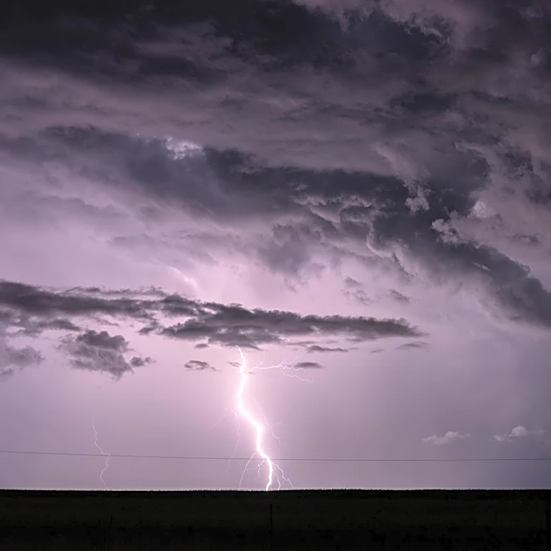
Severe Thunderstorms and Flash Flooding Threaten U.S. Midwest and East Coast
A widespread thunderstorm system is expected to bring severe weather, including hail, damaging winds, and flash flooding, to the northern U.S. starting Sunday evening. The Great Lakes and Ohio Valley regions are at the highest risk as the storms, fueled by heat and humidity, move southeast. Wind gusts could reach up to 85 mph, with heavy rain and lightning anticipated. The system is projected to impact the Northeast and mid-Atlantic regions by Monday, with prolonged rains increasing the risk of flash flooding from Buffalo to Boston through Tuesday evening. The National Weather Service has also issued warnings for hazardous heat across the central and southern U.S., with heat indices potentially exceeding 105–115°F in some areas.