NASA Captures Seattle's Glacial Legacy and Urban Transformation from Space
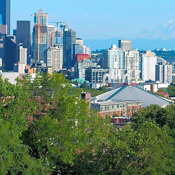
An astronaut aboard the International Space Station captured a striking image of Seattle, Washington, on June 16, 2026. Known as the 'Emerald City,' Seattle's lush parks and tree-filled neighborhoods are highlighted in the photograph, which also shows the city's tall buildings and surrounding waterways. The city's landscape, shaped by glaciers during the last ice age, features drumlins and glacial erratics, remnants of the Puget lobe of the Cordilleran ice sheet. In recent history, human interventions have further altered the topography, including the leveling of Denny Hill and the creation of new land through tideflat filling. The image also showcases recent infrastructure developments, such as a new ferry dock and terminal, a rebuilt seawall, and a tunnel replacing an above-ground highway. These changes have enhanced public access to the waterfront, reflecting Seattle's ongoing urban evolution.