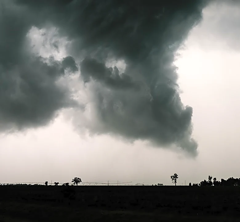
Severe Weather Threat Looms Over Southeast and Eastern Nebraska
A significant severe weather threat is expected to impact southeast and eastern Nebraska on Monday, September 14, 2026. Following a hot and windy day with temperatures reaching the lower 90s (32-34°C) and wind gusts of 35-40 mph, a cold front will move into the region during the afternoon and evening. This front is expected to trigger strong to severe thunderstorms, with the potential for large hail (up to 2 inches in diameter), damaging winds (up to 65-75 mph), and isolated tornadoes (up to EF-2+ strength). The atmospheric conditions, including warm, moist air and wind shear, are conducive to the development of severe storms, particularly supercells capable of producing tornadoes. However, earlier showers and weak storms could stabilize the atmosphere and reduce the severity of the threat. (Source: KOLN, 2026-09-13, 4:57 PM CDT)