Severe Weather Threatens Nebraska, Kansas, and Iowa with Tornadoes and Hail
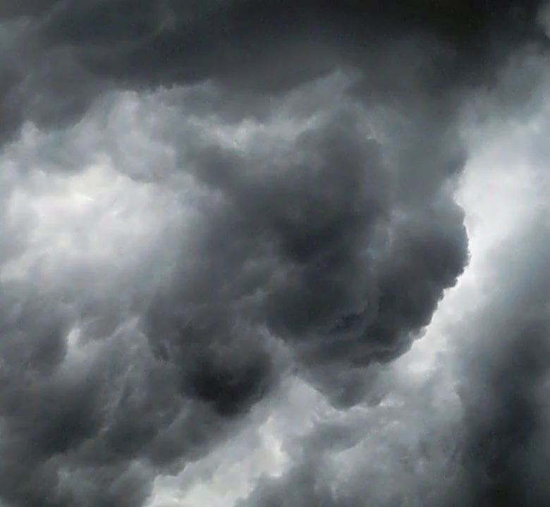
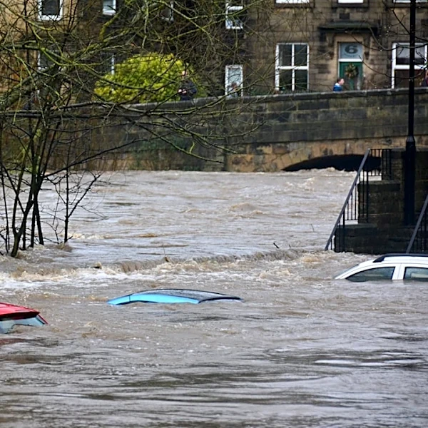
A significant severe weather event is unfolding across parts of Nebraska, Kansas, and Iowa on Monday, September 14, 2026. The National Weather Service has issued a Tornado Watch for southeast Nebraska and western Iowa until 12 a.m. CDT on Tuesday, and a Severe Thunderstorm Watch for south-central Nebraska into Kansas until 10 p.m. Monday. The region is under a 'Slight Risk' for severe storms in the yellow-shaded areas and a 'Marginal Risk' in the green-shaded areas. Potential hazards include quick spin-up tornadoes rated EF0 to EF2, damaging winds up to 75 mph (120 km/h), and hail up to golf ball size. A Flood Watch is also in effect for southeast Nebraska, where heavy rainfall has already occurred, with more expected overnight. (Source: KLKN-TV, 2026-09-14 21:07:21 GMT)