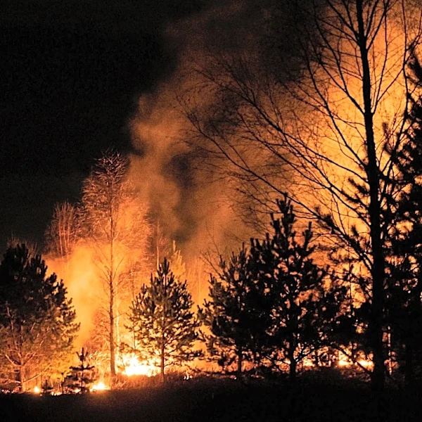
Real-Time Wildfire Map Provides Updates Across Italy
A real-time wildfire map is providing up-to-date information on thermal anomalies detected by satellites across Italy. This tool displays hotspots, indicating potential fires, with details such as coordinates, date/time, sensor data, and intensity. Users can filter data by time range (up to 5 days), confidence level (low, medium, high), and Fire Radiative Power (FRP) threshold, which measures the energy radiated by the fire in megawatts. The map utilizes data from NASA FIRMS, incorporating both VIIRS (375m resolution for accuracy) and MODIS (1km resolution for historical coverage) satellite streams. Updates are automatic, with new hotspots appearing based on orbital passes and environmental conditions like cloud cover. The platform covers all Italian provinces, offering a comprehensive overview of fire activity.