U.S. Drought Monitor: A Key Tool for Agricultural Relief
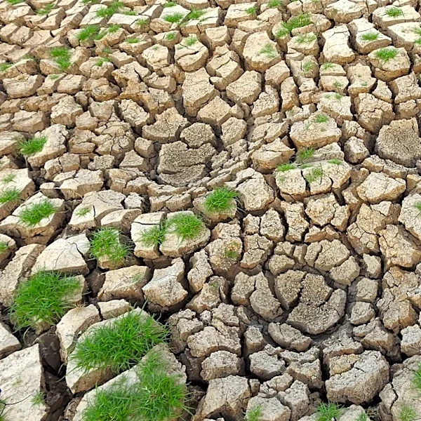
The U.S. Drought Monitor, a weekly color-coded map, plays a critical role in assessing drought conditions across the United States. According to Dr. Mark Svoboda, co-founder of the monitor, the map integrates data on soil moisture, snowpack, groundwater, streamflow, and reservoir levels, alongside precipitation data. Analysts rely on localized networks like the North Dakota Agricultural Weather Network (NDAWN) to validate automated weather data. The map's classifications influence billions of dollars in federal aid, including livestock disaster relief programs and tax deferral eligibility for drought-affected farmers. Updates are published every Thursday, with data collected through Tuesday morning. Severe drought conditions (D2) have been reported in parts of North Dakota, while regions east of the Mississippi River have largely avoided such conditions this season. Source time: not specified.