Starlink Satellites Aid in Mapping Earth's Upper Atmosphere
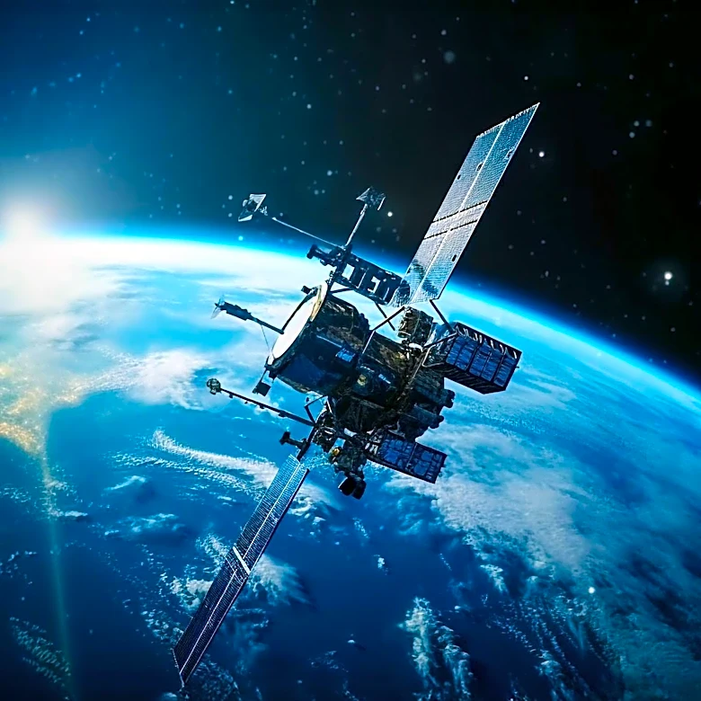
Researchers at Kyoto University have utilized the orbital data from approximately 1,200 Starlink satellites to map Earth's thermosphere, a challenging-to-observe region of the upper atmosphere. This effort has resulted in the first tomographic map of atmospheric density patterns at about 300 miles above Earth. The study, published in Earth, Planets, and Space, highlights how these satellites, originally designed for internet service, are now providing valuable data for atmospheric research. The thermosphere, extending from 62 to 621 miles above Earth, consists mostly of electrically neutral gas, with less than 1% being charged particles. The study leverages the drag experienced by satellites due to sparse atmospheric particles, which affects their speed and altitude, to gather data on atmospheric density.