Severe Weather Threat Looms Over Upper Midwest Early This Week
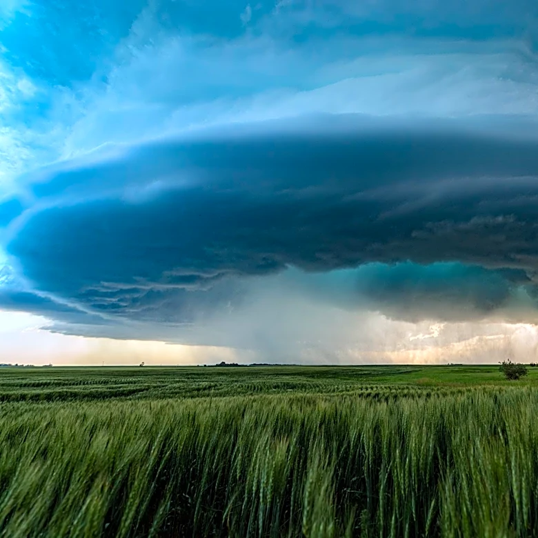
An active weather pattern is expected to impact the Upper Midwest early this week, with storms forecast to develop across the region. On Monday evening, storms may form from eastern Iowa to northern Illinois, followed by a second round of storms late Monday night into early Tuesday morning. These storms are expected to bring heavy rain, strong wind gusts, and large hail. On Tuesday, remnant storms from earlier activity may persist, with a boundary forming over the region that could trigger additional storms in the afternoon and evening. The overall risk of severe weather is rated as Level 1 to 2 out of 5, with plentiful moisture and instability contributing to the potential for significant weather events. However, confidence in the exact timing and location of storm development remains low. (Source time: Mon, 10 Aug 2026 14:37:39 GMT)