NASA Satellite Data Empowers Farmers with Advanced Decision-Making Tools
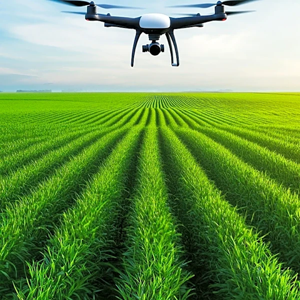
NASA is leveraging its satellite data to assist U.S. farmers in making more informed decisions regarding crop management, drought monitoring, and water stress through the Farm Action Toolkit (FAcT). This publicly available tool, developed by NASA scientists, bridges the gap between extensive satellite-collected agricultural information and the practical needs of farmers. FAcT integrates NASA satellite data, agronomy, local knowledge, and artificial intelligence to provide insights at individual field, state-wide, and national scales. Dr. Aparna Phalke, Lead Scientist for agriculture and hydrology at NASA EarthRISE, emphasizes that satellites can detect subtle changes in crop health, moisture, temperature, and stress by observing light and heat beyond human vision. This capability is particularly crucial for monitoring and planning for drought conditions, which have caused significant agricultural losses, such as over $300 million in Alabama in 2024. FAcT utilizes three types of satellite data: optical data...