Severe storms and flash flood threats target Midwest and Plains
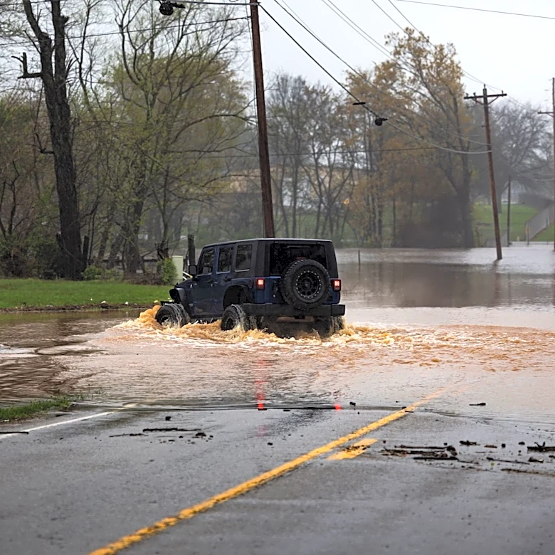
A multiday severe weather event is unfolding across the Midwest and Plains, bringing threats of damaging winds, hail, isolated tornadoes, and flash flooding. The event begins late Monday afternoon in eastern North Dakota, west-central Minnesota, and the Black Hills, with hail as the primary concern. As the evening progresses, storms will intensify and move southeast into Nebraska and southeast South Dakota, where a Level 2 out of 5 severe storm threat has been issued. By Tuesday, a developing low-pressure system over western Kansas and southwest Nebraska will drag a front southward, creating conditions for supercells capable of producing large hail and isolated tornadoes. Heavy rainfall rates exceeding 2 inches per hour are expected, particularly in Iowa, eastern Nebraska, northern Missouri, and northwest Illinois, where a Level 2 out of 4 flash flood threat is in place.