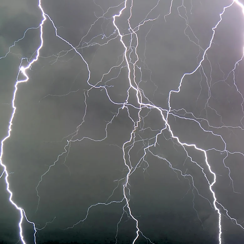
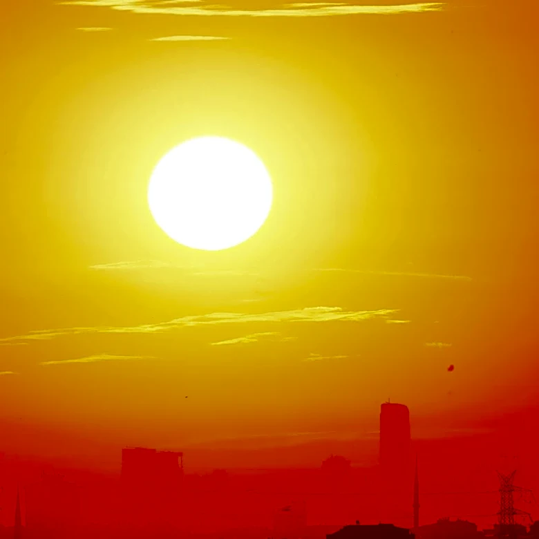
Severe Thunderstorms and Record Heat in Washington, D.C. Area
The Washington, D.C. region has been experiencing record-breaking heat since Monday, with temperatures reaching as high as 97°F (36°C) on Tuesday, the earliest such high on record. A vigorous cold front is expected to bring relief from the heat, but it will also trigger strong to severe thunderstorms. The National Weather Service has placed the area under a Level 2 out of 5 risk for severe storms, with the most likely timing for storms between 3 p.m. and 9 p.m. EDT. The storms are expected to move swiftly, lasting 30 to 60 minutes in most locations, and could bring damaging wind gusts, large hail up to one inch in diameter, and heavy rainfall. Temperatures will drop significantly after the storms, falling from the 90s into the upper 60s and 70s.