NASA Satellite Images Reveal Extent of Santa Rosa Island Wildfire
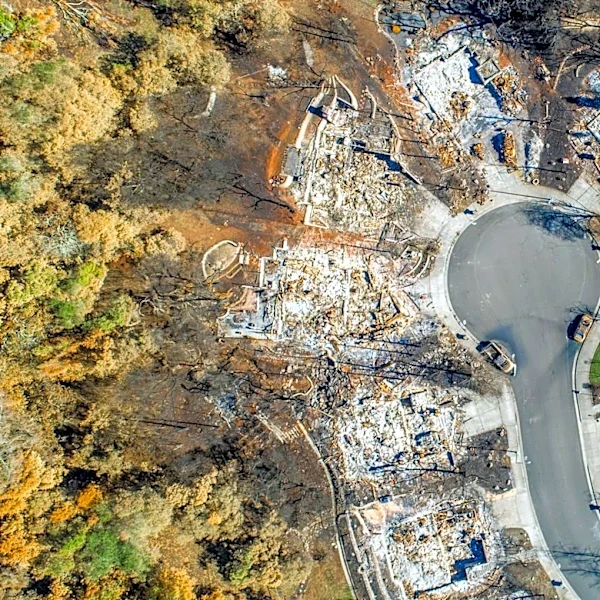
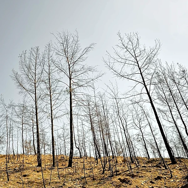
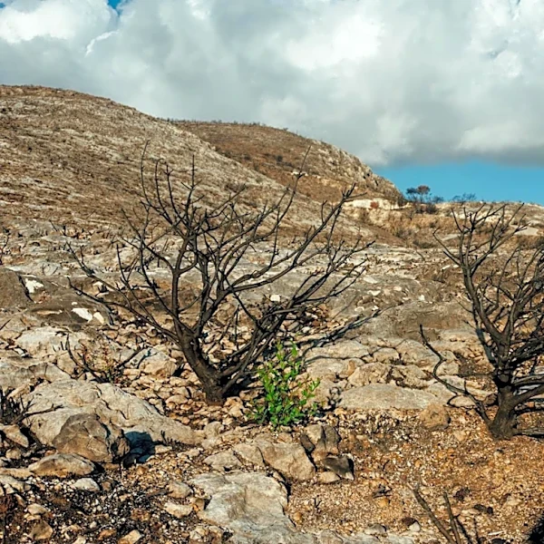
NASA's Landsat satellite has captured detailed imagery of a significant wildfire on Santa Rosa Island, part of California's Channel Islands. The fire, which ignited on May 15, consumed 18,379 acres, approximately one-third of the island, making it the largest wildfire recorded on any of the Channel Islands. By May 26, the fire was reported to be 97% contained, according to the California Department of Forestry and Fire Protection. The satellite images, using false-color technology, highlight the stark contrast between scorched land and healthy vegetation, with burned areas appearing brown and unburned vegetation in green. The fire affected diverse ecosystems, including grasslands, coastal sage scrub, and island chaparral, raising concerns about the impact on rare species such as the Torrey pine groves. However, initial assessments suggest these groves were largely spared, with flames moving through at lower intensity.