Google Maps Updates Gaza Imagery, Revealing Widespread Destruction
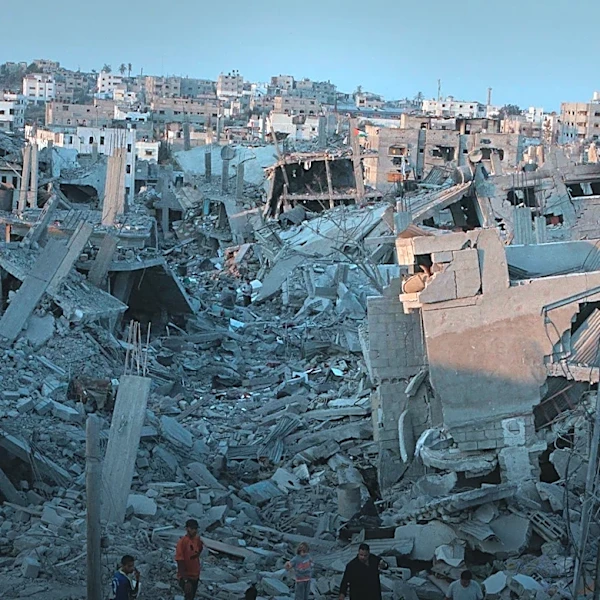
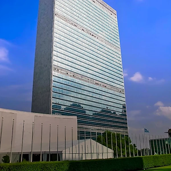
Google Maps has updated its satellite imagery of the Gaza Strip for the first time in over a year, providing a visual record of the extensive devastation caused by the Israeli military offensive. The updated images, primarily from February 2026, show entire neighborhoods flattened, residential areas reduced to rubble, and dirt tracks cutting through former farmlands and homes. Towns like Beit Hanoun and Jabalia in the north, once agricultural, are now heavily damaged. In the southern Strip, areas like Tel al-Sultan have barely 10 buildings remaining, and the Swedish Village near the Egyptian border has entirely disappeared. Gaza City, which had a population of approximately 650,000 before October 2023, has seen 83% of its buildings damaged by October 2025, according to the UN Satellite Centre (UNOSAT). Central buildings, including those near Omar Mukhtar Street and Palestine Stadium, have vanished, replaced by tents amidst the ruins. The Al-Shifa Hospital, Gaza's largest medical center, is also shown to be...