Kyle, Texas Faces Flash Flood Risks Amid Active Rain Seasons
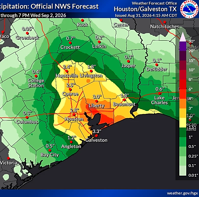
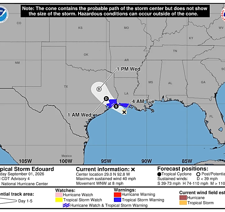
Kyle, Texas, located in a region prone to extreme weather, is currently under heightened precipitation monitoring. The area is situated at the intersection of Tornado Alley to the north, Gulf hurricane activity to the south, and Flash Flood Alley in the center. Real-time radar data from the KFWS (Fort Worth) and KHGX (Houston) stations, updated every 4–6 minutes, provides hyperlocal precipitation tracking with up to 250-meter resolution. This advanced radar system is crucial for residents, commuters, and outdoor workers to stay informed about rapidly changing weather conditions. The peak rain seasons in Kyle occur during May–June, coinciding with the spring convective peak, and June–November, which aligns with the Gulf hurricane season. These periods bring the highest risk of weather disruptions to the area. (Source time: not specified)