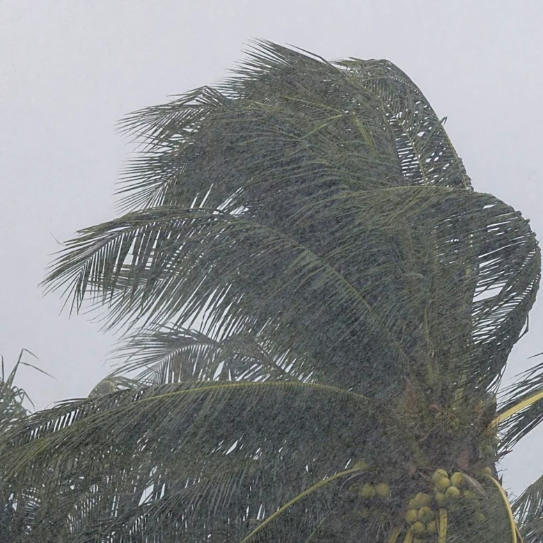
Severe Storm Risk and Tornado Observation Potential in Midwest
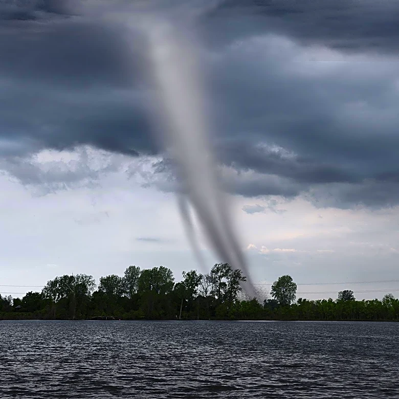
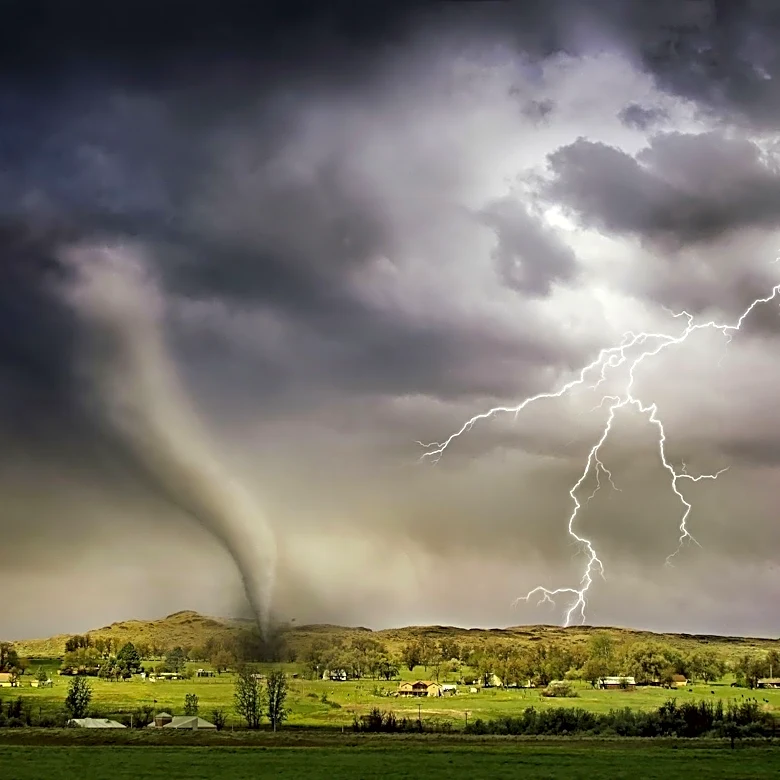
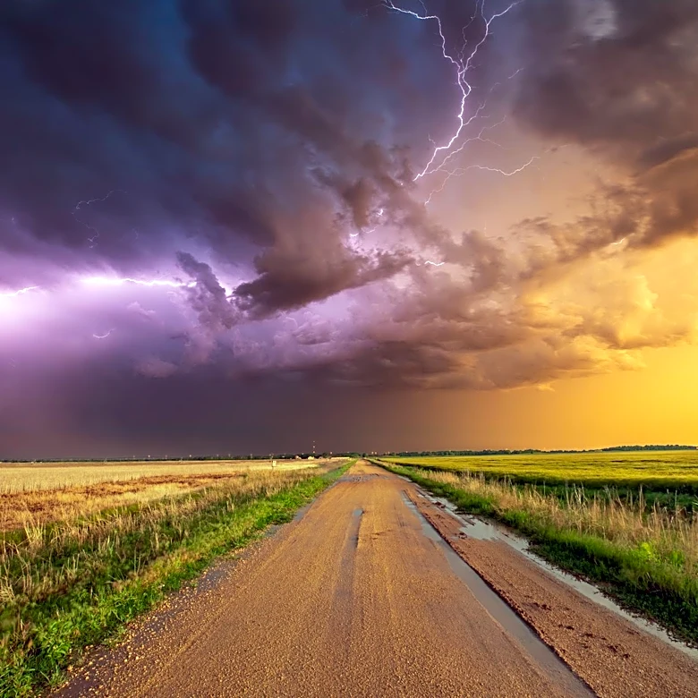
Meteorologists are closely monitoring conditions across the Midwest, particularly in northern Illinois and northwest Indiana, for potential severe weather today. According to Skydrama.net, the region is experiencing high instability and storm fuel, with subtle jet stream waves and boundaries that could either enhance or suppress storm development. Short-range models, including HRRR and 3km NAM, offer conflicting predictions, ranging from a capped environment to the possibility of supercell clusters forming later in the evening. Current surface conditions show an intense area of storms in southern Wisconsin, with a trailing outflow boundary that could trigger new storm activity. The environment ahead of this boundary is priming for potential severe storms, including tornadoes, depending on timing and air mass recovery.