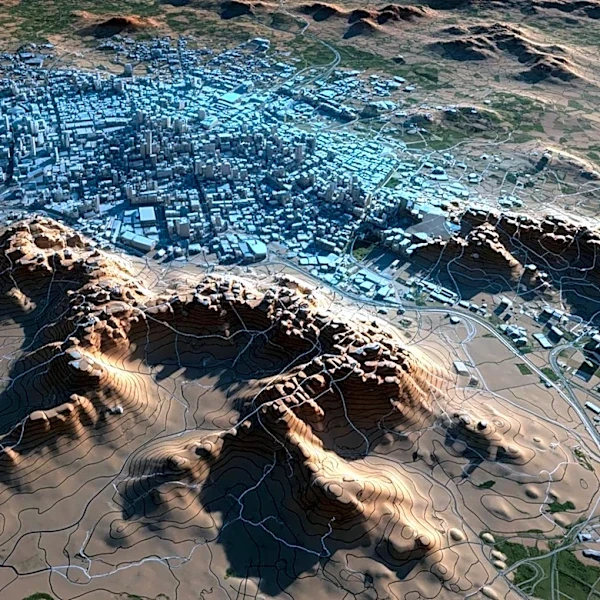
NASA Satellite Reveals Mexico City's Rapid Sinking, Impacting Infrastructure and Residents
NASA has released satellite imagery from the U.S.-India satellite NISAR, showing that Mexico City is sinking at a rate of more than half an inch per month. This subsidence, which has been occurring for over a century, is primarily due to extensive groundwater pumping and urban development on the city's ancient lakebed foundation. The sinking has led to significant infrastructure damage, including fractured roads, buildings, and water lines. The new satellite data allows for near real-time tracking of ground movement, providing researchers with unprecedented insights into the city's subsidence patterns. Dora Carreón-Freyre, a researcher with over 25 years of experience studying the phenomenon, highlights the severe impact on areas like Iztapalapa, where many structures are already damaged.