New Fall Color Tracker Covers U.S. Parks & Forests
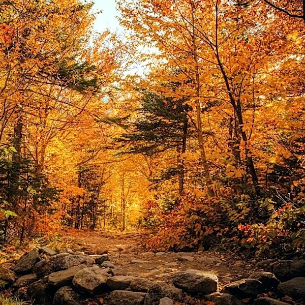
A new fall foliage tracker has been launched, covering all 3,104 counties and over 1,600 public lands destinations in the lower 48 states. The map provides detailed peak dates for national parks, forests, and counties, accounting for elevation, tree species, and local weather conditions. It identifies areas with dual peaks, such as Glacier National Park, where broadleaf trees turn first, followed by larch trees. The tracker also includes live forest cameras, reservation requirements, and weekend reports to help visitors plan their trips effectively. This innovative tool aims to enhance the fall foliage experience for travelers across the U.S.