Severe Weather Hits Philadelphia with High Winds, Flooding, and Tornado Threats
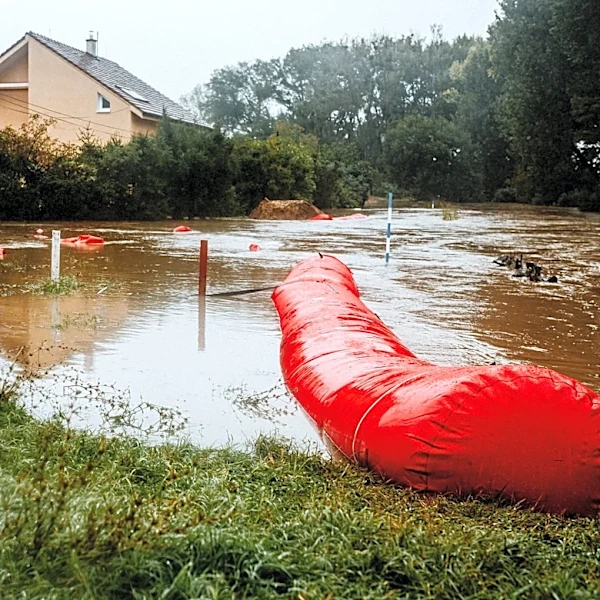
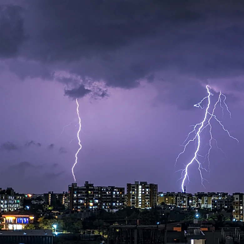
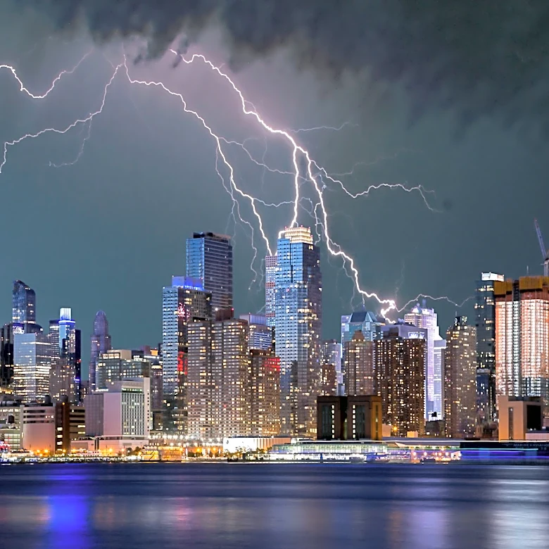
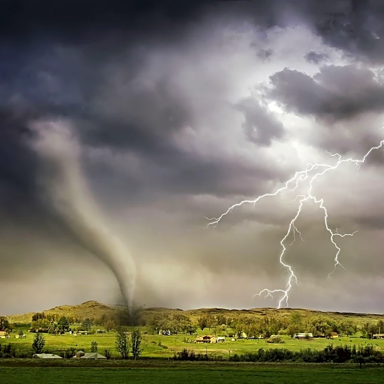
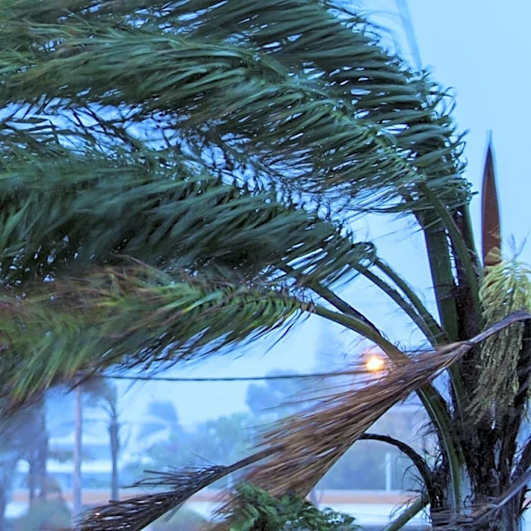
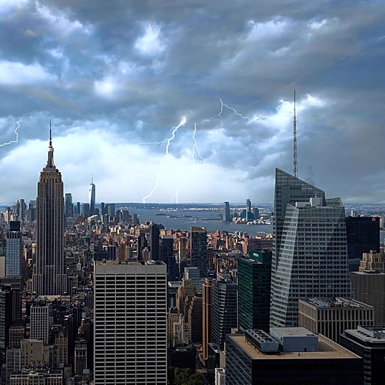
Philadelphia experienced a dramatic shift in weather on Saturday, July 18, 2026, as smoke from Canadian wildfires began to clear, only to be replaced by severe thunderstorms. The National Weather Service (NWS) issued a flash-flood watch for eastern Pennsylvania, New Jersey, and northern Delaware, with rainfall rates of 2-3 inches per hour expected. Wind gusts exceeding 60 mph and hail up to half an inch thick were also forecast. A tornado watch was in effect until 9 p.m., with a 5-9% risk of tornadoes, including the possibility of EF2 tornadoes with winds between 113-157 mph. Despite these threats, the region avoided widespread damage, though isolated incidents of downed trees and property damage were reported in areas like North Wales, Montgomery County, and Ocean County, NJ.