Advanced Weather Forecasting Enhances Utility Risk and Wildfire Decisions Across the U.S.
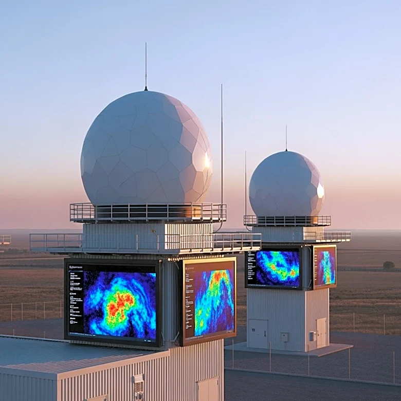
Utilities across the United States are increasingly adopting advanced weather forecasting models with sub-kilometer resolution to improve decision-making for wildfire mitigation and severe weather events. According to POWER Magazine, providers like Climavision, Meteomatics, and Technosylva are offering high-resolution models that surpass public weather products in spatial detail, update frequency, and forecast horizon. For example, Meteomatics' US1k model operates at a 1-km resolution with hourly updates, while Climavision's HI-RES model provides 2-km resolution with optional 670-meter insets for specific service areas. These models integrate data from diverse sources, including drones, radars, and satellites, to deliver precise, actionable forecasts. The demand for such tools has expanded beyond traditional wildfire-prone areas like California to regions such as the Carolinas, Tennessee, and New Jersey, where drought-stressed fuels and convective downbursts pose increasing risks.