Severe Weather Strikes North Texas, Poses Continued Risk
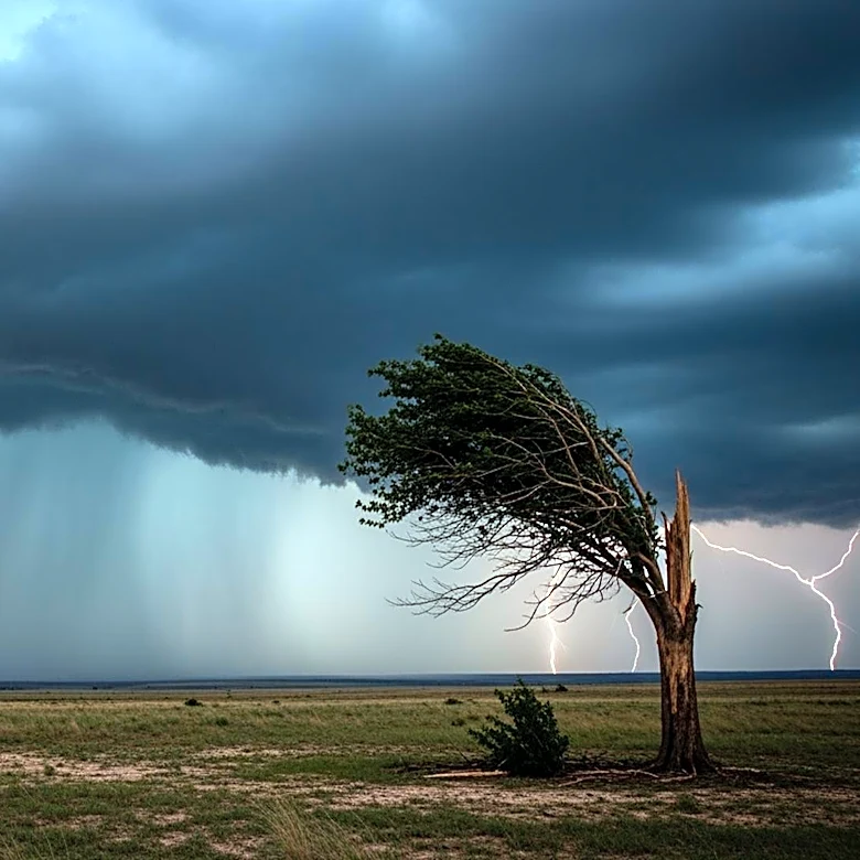
North Texas experienced severe weather conditions on Saturday night, including tornadoes, large hail, intense winds, and significant flash flooding. The storms, which were deadly, began with a supercell in Wichita County around 4 PM and lasted nearly 12 hours, dissipating early Sunday morning. A dryline to the west was identified as the key trigger for these destructive storms. The atmospheric conditions suggest a continued, albeit isolated, threat of severe weather on Sunday, with a stronger atmospheric cap reducing the likelihood of severe storm initiation. The region is expected to remain muggy, breezy, and cloudy, with temperatures in the upper 80s and southeast winds gusting up to 25 mph. The Storm Prediction Center has issued another First Alert Weather Day for Tuesday, highlighting a risk for severe weather across most of North Texas due to an approaching cold front.