AI Tools Enhance Ocean Current Mapping, Offering Greater Detail
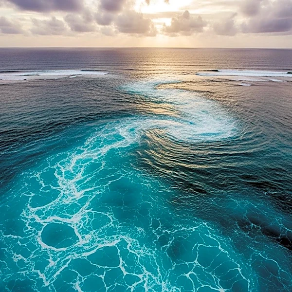
Researchers at the University of California, San Diego have developed an AI tool named GOFlow that significantly enhances the mapping of ocean currents. This tool utilizes thermal imagery from weather satellites to track surface temperature changes, which are influenced by underlying ocean currents. The AI-driven approach allows for more detailed and frequent observations of small, fast-changing ocean currents, which are crucial for understanding the movement of heat, carbon, nutrients, and pollutants in the ocean. The research, published in Nature Geoscience, demonstrates that GOFlow's outputs align with traditional methods but provide greater detail than previously possible. Despite its achievements, the tool faces limitations such as cloud cover obstructing satellite views, which researchers aim to address with additional satellite data.