Tracking Lava Flows with Satellite Radar in Hawaii
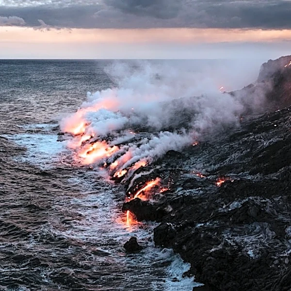
Researchers have utilized satellite-based radar, specifically synthetic aperture radar (SAR), to monitor volcanic activity at Kīlauea Volcano on Hawaii's Big Island. SAR technology, which can penetrate thick plumes, clouds, and operate at night, was used to analyze lava flows, estimate lava lake areas, and measure crater depth changes during a highly active period of the Pu‘u‘ō‘ō eruption in the East Rift Zone from 2010 to 2013. The study, conducted by Dualeh et al., involved analyzing 167 ascending and 105 descending COSMO-SkyMed satellite images. SAR backscatter data, which measures radar signals bouncing off the ground, provided insights into surface roughness, slope changes, and lava lake dynamics. The findings suggest that SAR backscatter can complement traditional ground-based monitoring methods, especially in challenging conditions.