World Customs Organization Utilizes Geospatial Intelligence in West Africa for Enhanced Border Security
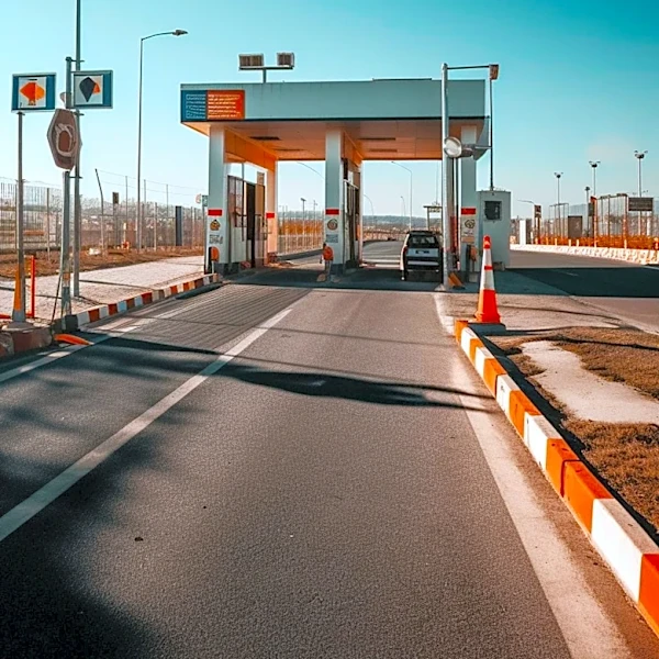
The World Customs Organization (WCO), in collaboration with the Japan International Cooperation Agency (JICA) and the customs administrations of Benin and Nigeria, has successfully concluded Operation GEOCONTROL. This operation marked the first deployment of Geospatial Intelligence (GEOINT) as a core enforcement capability along the Benin-Nigeria border. The initiative involved the use of geospatial analysis, risk profiling, and field intelligence to enhance enforcement across border locations. Tools such as the WCO Geoportal, GIS applications, drones, and secure communications were employed to create a shared operational picture in real-time. The operation also served as a training exercise, translating GEOINT skills into practical applications targeting threats like narcotics, weapons, petroleum products, pharmaceuticals, and counterfeit goods.