Fargo Faces Persistent Flooding Challenges from Red River
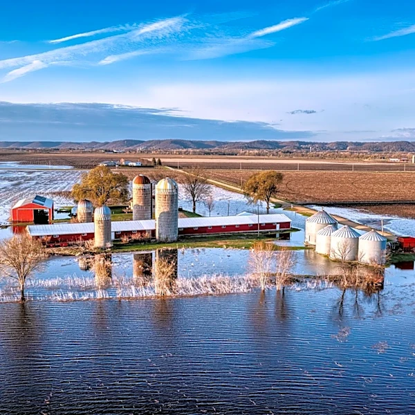
Fargo, located in southeastern North Dakota along the Red River, continues to face significant flooding risks due to its unique geography and climate. The Red River, which flows north through the region, is prone to spring flooding caused by heavy winter snow, rapid snowmelt, and rain. The flat terrain of the Red River Valley exacerbates the issue, as water spreads easily and drains slowly. Historical records highlight major floods in 1826, 1897, 1950, 1969, 1997, 2009, and 2011, with the 2009 flood being the worst on record when the river crested at 40.84 feet. In response, Fargo has invested heavily in levees and diversion projects to mitigate future risks. The city’s efforts aim to protect its population of approximately 125,000 and surrounding areas, including West Fargo and Moorhead, Minnesota.