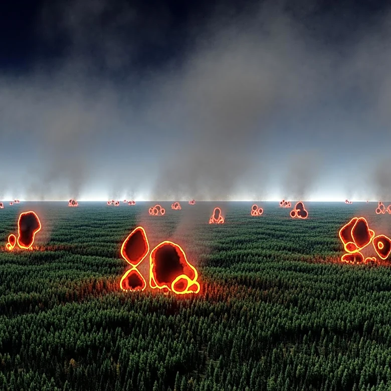
NASA Satellite Captures Wildland Fires in Georgia, Highlighting Pollution Concerns
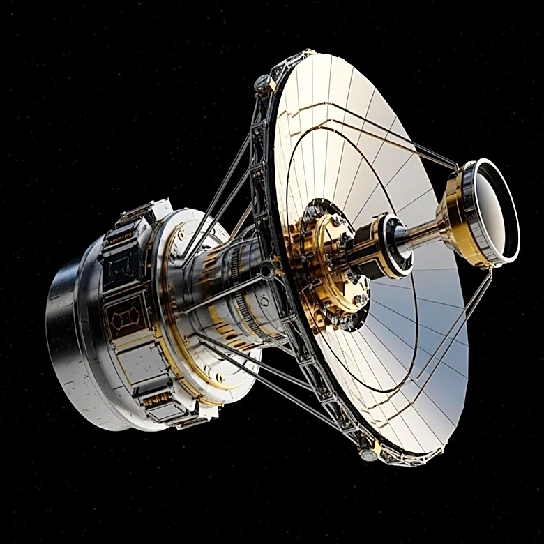
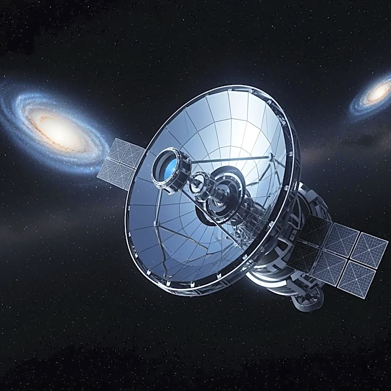
NASA's Earthdata has reported significant wildland fires in Georgia, captured by the NOAA-21 satellite on April 21, 2026. The fires, identified as the Pineland Road Fire and the Highway 82 fire, have been exacerbated by low humidity, extreme drought, and strong winds. These conditions have led to the fires threatening railroad infrastructure and other structures, prompting evacuations and road closures. The Tropospheric Emissions: Monitoring of Pollution (TEMPO) instrument has detected high concentrations of nitrogen dioxide, a toxic gas produced by fossil fuel combustion and wildland fires. This gas contributes to the formation of ground-level ozone and particulate matter pollution, posing risks to human and ecosystem health.