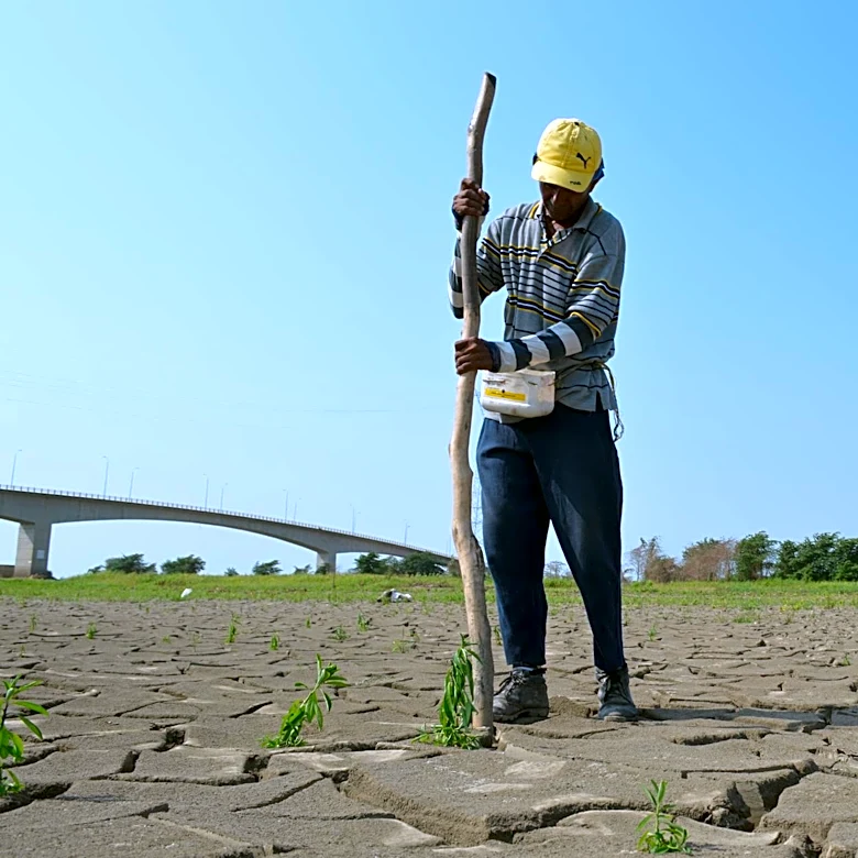
NASA's NLDAS-2 Dataset Enhances Watershed Monitoring Across North America
NASA's North American Land Data Assimilation System, Phase 2 (NLDAS-2), is a near real-time land-surface modeling dataset designed to improve watershed monitoring, drought analysis, and agricultural planning. The dataset, which spans from January 1979 to the present, provides hourly data on precipitation, temperature, humidity, wind, solar radiation, and potential evapotranspiration across central North America. Researchers at the University of Mississippi have integrated NLDAS-2 into the Agricultural Integrated Management System (AIMS), a tool developed in collaboration with the USDA. This integration allows for advanced simulations of runoff, sediment, and agricultural pollution, particularly in areas lacking local climate observations. The updated AIMS 3.0 platform aims to support decision-makers in managing water resources and improving land use practices.