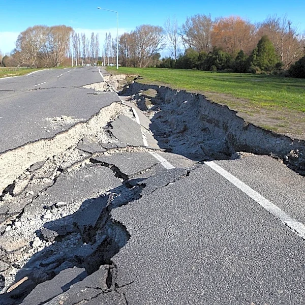
Magnitude 4.3 Earthquake Strikes Northeastern Oregon, Strongest in Over 30 Years
A magnitude 4.3 earthquake occurred in Wallowa County, Oregon, late on November 9, 2026, approximately 12 miles southeast of Joseph. This event, recorded at 11:43 p.m., marks the strongest earthquake in Northeastern Oregon in over three decades, according to the Pacific Northwest Seismic Network. The epicenter was located near Carrol Creek, a tributary of Big Sheep Creek, about 3 miles east of the Wallowa Mountain Loop Road and approximately 7.5 miles underground. The U.S. Geological Survey (USGS) received 98 reports from residents across Wallowa, Baker, and Union counties who felt the shaking, which was categorized as 'weak' to 'light' on the Modified Mercalli Intensity scale. Despite its strength relative to recent regional seismic activity, the USGS projects a low likelihood of damage. The earthquake was slightly below the magnitude 4.5 threshold required to trigger a public notice via the ShakeAlert system.