NISAR Satellite Captures Agricultural Patterns in South Africa
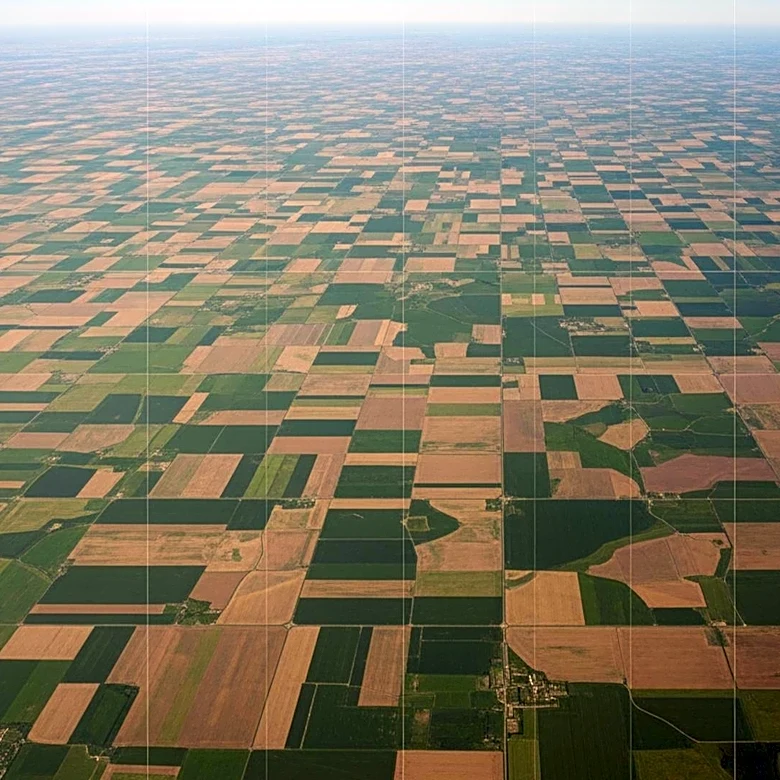
A new composite image from the NISAR satellite, a joint mission by NASA and the Indian Space Research Organisation (ISRO), reveals detailed agricultural patterns in South Africa. The image, which resembles a rainbow patchwork quilt, uses data to highlight different crop types and land use in the region along the Vetrivier. This area is part of the Maize Triangle, a significant agricultural zone. NISAR, launched in July 2025, is designed to monitor natural disasters, ecosystems, and other Earth surface phenomena. The satellite's data provides insights into vegetation changes and land use, contributing to a better understanding of Earth's environmental dynamics.