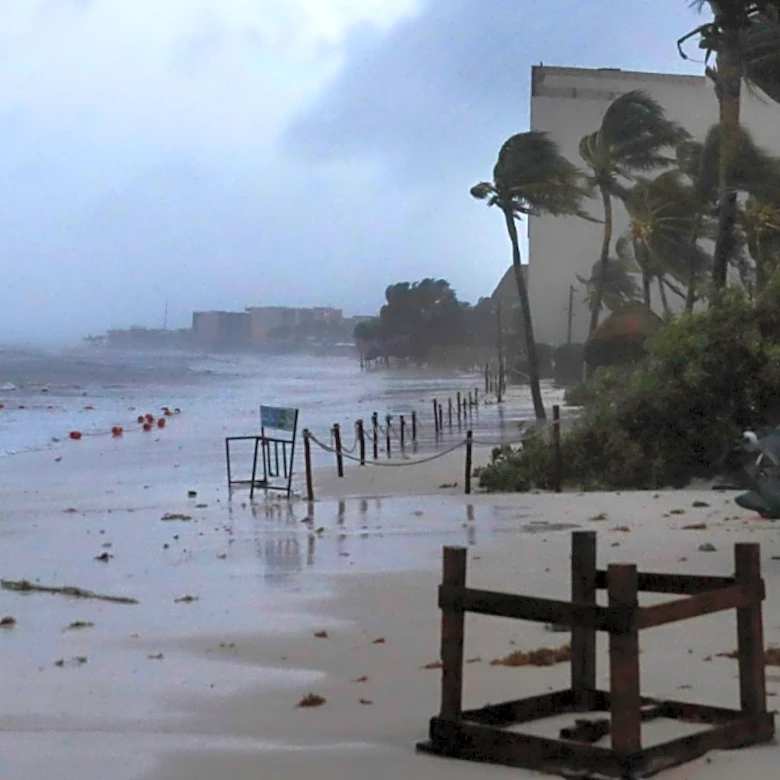
Severe Storms Threaten Northeast with Flash Flooding and Damaging Winds
The Northeast region of the U.S. is bracing for severe storms, with over 32 million people along the I-95 corridor from Connecticut to Virginia under a flash flood threat. NOAA’s Weather Prediction Center (WPC) has issued a widespread Level 2 out of 4 risk for flash flooding in this area. Specifically, 17 million individuals across parts of New Jersey and New York City face a higher Level 3 out of 4 risk. These storms are expected to bring drenching downpours, with rainfall rates potentially reaching up to 2 inches per hour. A Tornado Watch is also in effect for over 15 million people in Delaware, District of Columbia, Maryland, New Jersey, Pennsylvania, and Virginia until 10 p.m. ET. The cold front responsible for this severe weather is moving east from the Ohio Valley and is anticipated to stall over the Northeast coast and Mid-Atlantic through Thursday evening. Widespread rainfall totals of 2 to 3 inches are possible from North Carolina up to coastal New Jersey, with localized amounts of 3 to 5 inches.