NASA's 1976 Satellite with Carl Sagan Plaque to Return in 8.4 Million Years
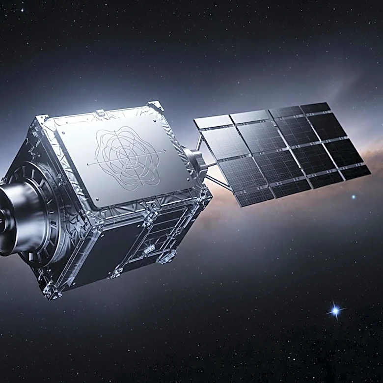
NASA launched the LAGEOS-1 satellite on May 4, 1976, from Vandenberg Air Force Base in California. This satellite, a simple brass and aluminum sphere, is designed to measure Earth's tectonic movements and rotational wobble by reflecting laser pulses from ground stations. Notably, it carries a plaque designed by Carl Sagan, which includes three maps of Earth's continents: one from 268 million years ago, one from 1976, and a projection for 8.4 million years in the future. This future date coincides with the satellite's estimated re-entry into Earth's atmosphere. The plaque serves as a time capsule, intended to communicate the passage of time through continental drift to any future finders.