La Niña Climate Pattern Expected to Bring Drier Conditions to Southern U.S. and Active Hurricane Season
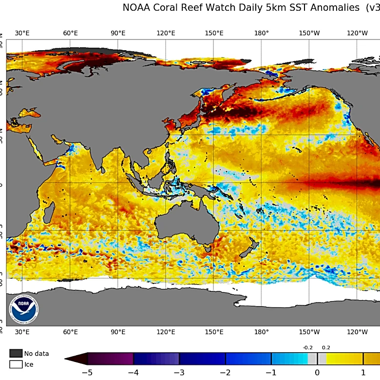
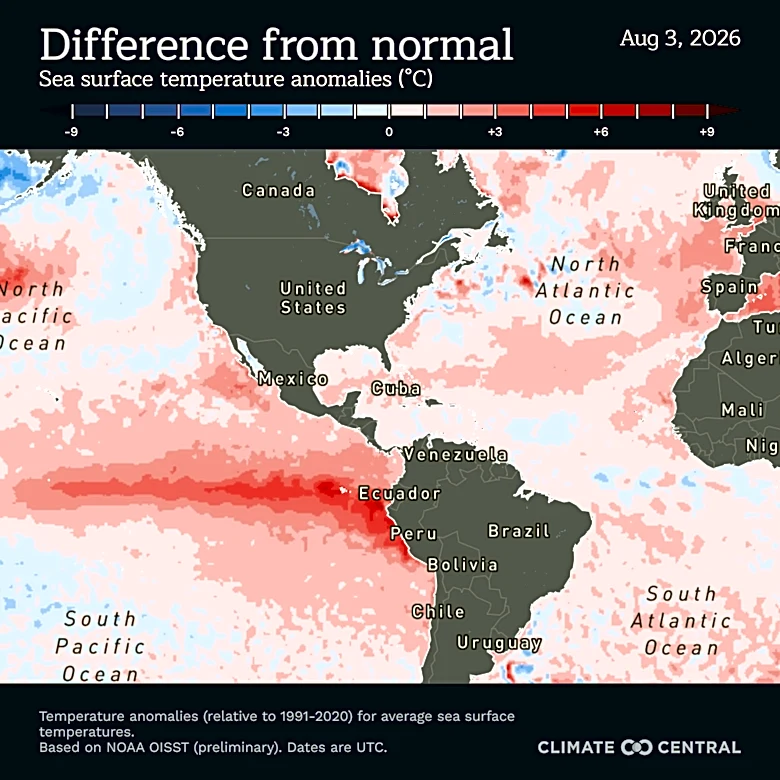
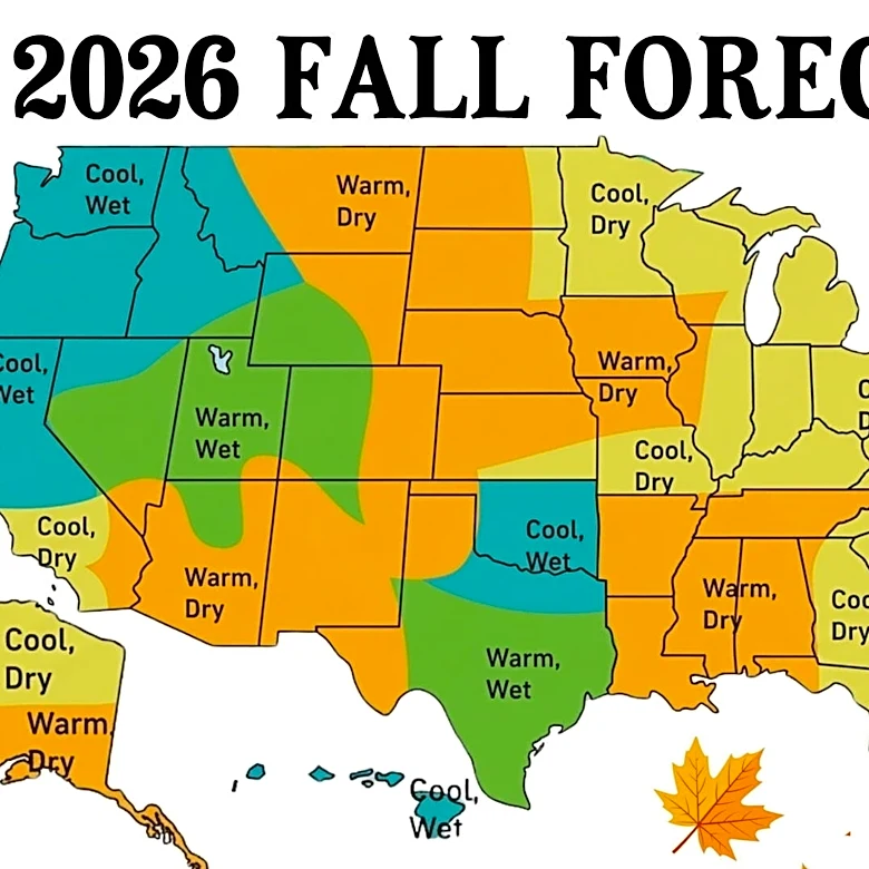
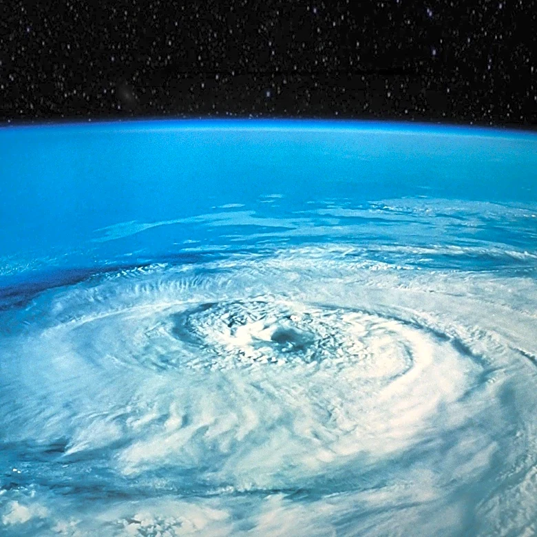
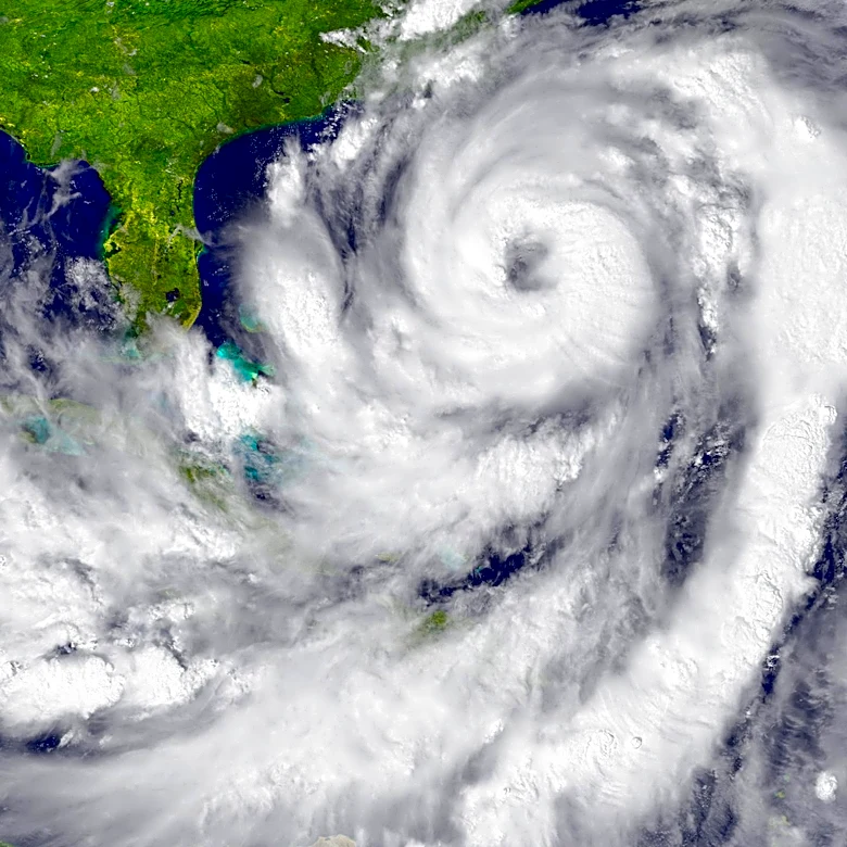
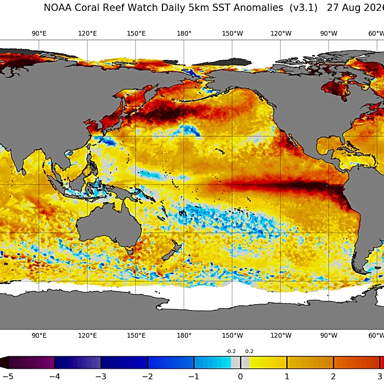
La Niña, the opposite phase of the El Niño-Southern Oscillation (ENSO) climate cycle, is characterized by stronger-than-normal trade winds pushing warm water toward Asia. This phenomenon allows colder, nutrient-rich water to rise in the eastern Pacific Ocean. According to the National Oceanic and Atmospheric Administration (NOAA), these cooler ocean temperatures can significantly shift global weather patterns. For the United States, La Niña typically leads to drier conditions across the southern regions and wetter weather in the Pacific Northwest. Additionally, it is associated with a more active Atlantic hurricane season. During La Niña winters, the southern U.S. tends to experience warmer temperatures, while the northern U.S. generally sees cooler conditions. This climate pattern is a naturally occurring cycle that, along with El Niño, represents the two extremes of the ENSO, which is considered the largest source of year-to-year climate variation.