Florida Faces Heat, Rip Currents, and Tropical Wave Development Risks
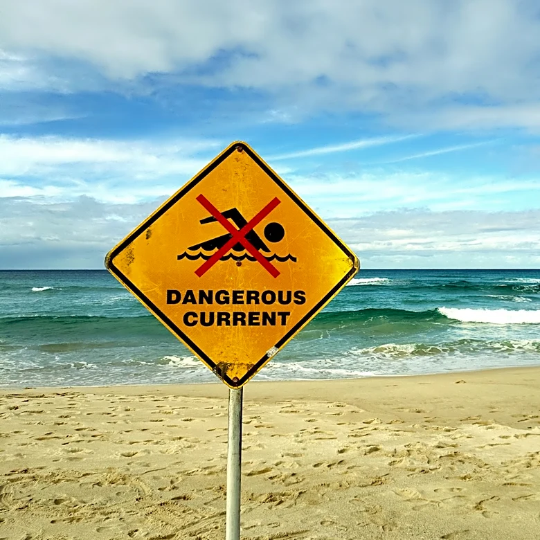
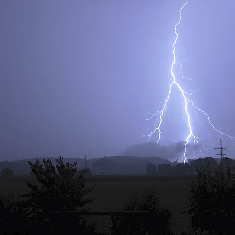
The Florida Division of Emergency Management (FDEM) has issued a weather outlook for Sunday, August 9, 2026, highlighting several meteorological concerns. Thunderstorm activity across the state may bring frequent lightning and gusty winds ranging from 30 to 55 mph. Heat index values are expected to peak in the middle 100s, indicating extreme heat conditions. Additionally, a high risk for rip currents is forecasted for all East Coast beaches, while the Panhandle faces a moderate risk. Tropical activity is also being monitored, with a tropical wave over the Central Atlantic showing a low chance of development within the next seven days. Another tropical wave, set to exit Africa early next week, has a medium chance of development at 40% within the same timeframe.