Snowfall Expected in Southwest High Terrain
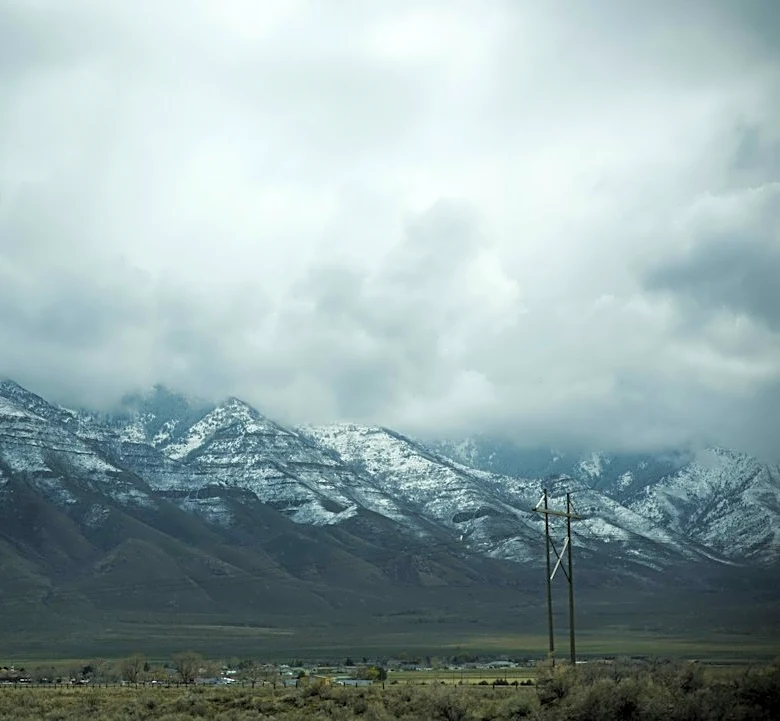
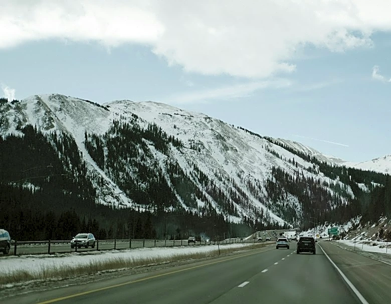
An upper low is moving southward from eastern Oregon into Nevada, bringing snow to high terrain areas across the Southwest. Snow levels are expected to lower to 7,000–9,000 feet as the system progresses, with significant accumulation likely in Nevada, Utah, Wyoming, and Colorado. WPC probabilities indicate a 50% chance of at least 8 inches of snow above 7,000 feet in Nevada and 9,000 feet in Utah. Mixed precipitation, including freezing rain and sleet, may occur in areas with a warm layer aloft over subfreezing surface air. Winds at 500 mb are forecast to reach 65 knots near Scenic, Arizona, with upper-level winds peaking at 105 knots, enhancing moisture transport and orographic lift. Snowfall is expected to taper off west to east starting Wednesday afternoon in Nevada and into Utah by late Thursday. Source time: Updated 9:30 a.m. MDT.