Severe Storms and Flash Flooding Threaten Midwest and East Coast
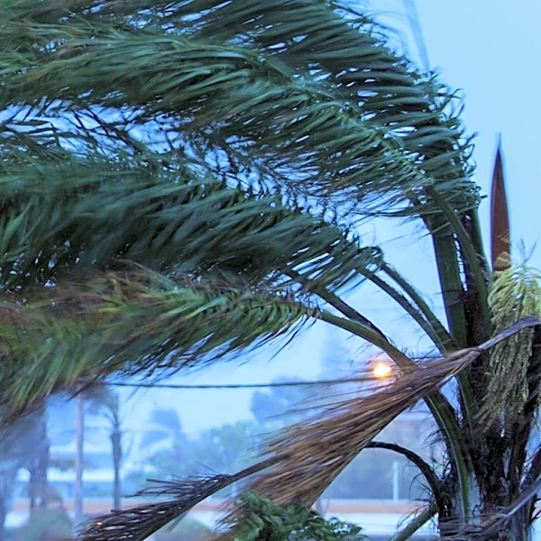
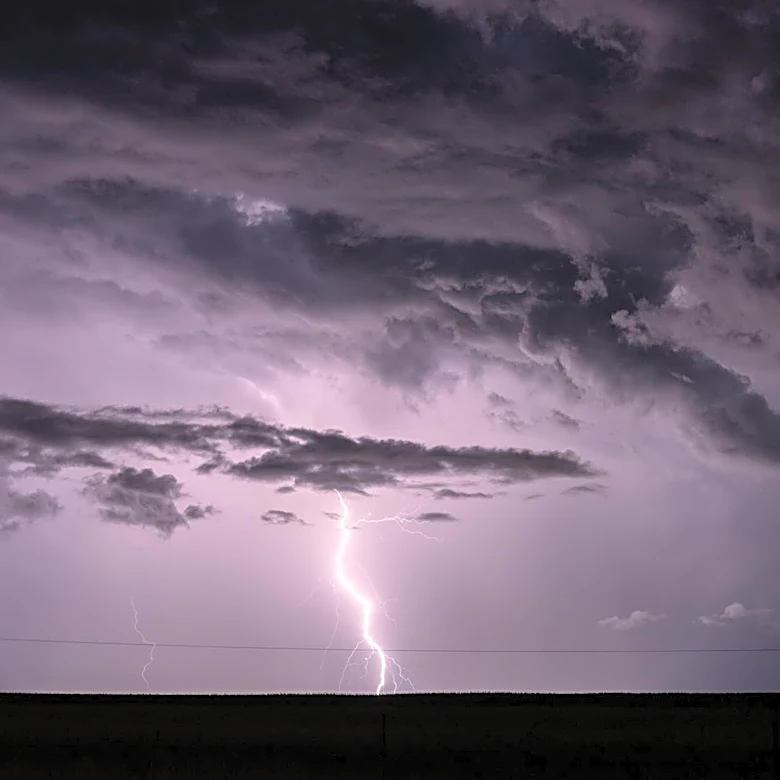
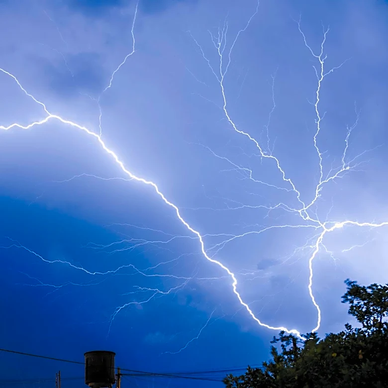
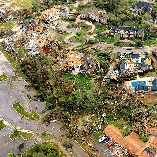
A widespread thunderstorm system is expected to bring damaging winds, hail, and heavy rainfall to the northern United States starting Sunday evening, July 26, 2026. The Great Lakes and Ohio Valley regions are at the highest risk as the storms, fueled by heat and humidity, move southeast. Wind gusts could reach up to 85 mph, with lightning and downpours likely to disrupt Monday evening commutes. The storm system, which previously caused power outages in Sioux Falls, South Dakota, will continue eastward, impacting areas from Buffalo to Boston with prolonged heavy rains and flash flooding through Tuesday evening. The Interstate 95 corridor, including cities like New York and Raleigh, is also expected to experience severe weather conditions.