Cool Air Mass Brings Relief to Eastern Corn Belt, Severe Storms Expected in Northern Plains
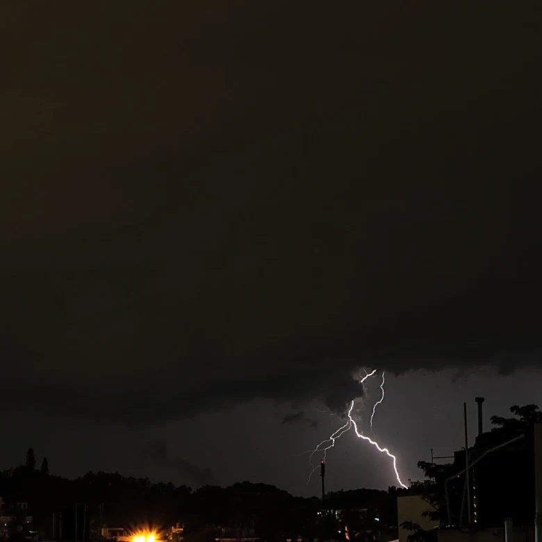
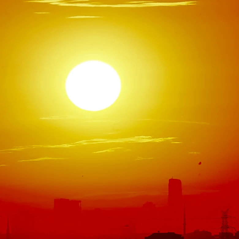
A cool air mass originating from Canada is moving into the northern-tier states, bringing relief to the soaked eastern Corn Belt. According to the National Weather Service, this air mass has pushed heavy rain and thunderstorms away from the Midwest and Ohio Valley toward the East Coast as of this morning. However, as the system advances deeper into the Northern Plains, heavy showers and strong to severe thunderstorms are expected to develop and move toward the Midwest later this evening. Additionally, a slight risk of severe thunderstorms exists farther south across the central Plains. Scattered storms are forecast across central Nebraska, northern Kansas, and as far east as the Mississippi River. Hit-or-miss storms may also occur in the central and southern Rockies and the central High Plains. Meanwhile, the southern tier of the U.S. remains under a steamy air mass, with record highs and warm minimum temperatures expected in the Southeast and desert Southwest by Wednesday.