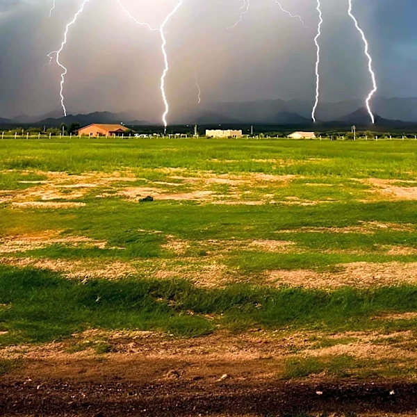
Monsoon Surge Brings Heavy Rain and Cooler Temperatures to Colorado
A significant surge of monsoon moisture is impacting Colorado's Front Range, with precipitable water values reaching up to 200% of normal, creating a highly efficient rainfall environment (BoulderCAST, 2026). Satellite imagery indicates a robust monsoonal plume streaming into the region, combined with an overnight boundary from a Nebraska mesoscale convective system (MCS) that has enhanced upslope and low-level moisture. Dew points have risen into the upper 50s, boosting storm efficiency and instability. Severe weather, including hail up to 1 inch and winds of 60 mph, is possible Thursday, followed by a heightened risk of flash flooding due to slow-moving storms. Rain chances remain elevated through the weekend, with widespread rainfall totals of 0.5–1.5 inches and localized amounts of 2–5 inches possible.