Severe Thunderstorms Threaten Tri-State Area Ahead of Labor Day Weekend
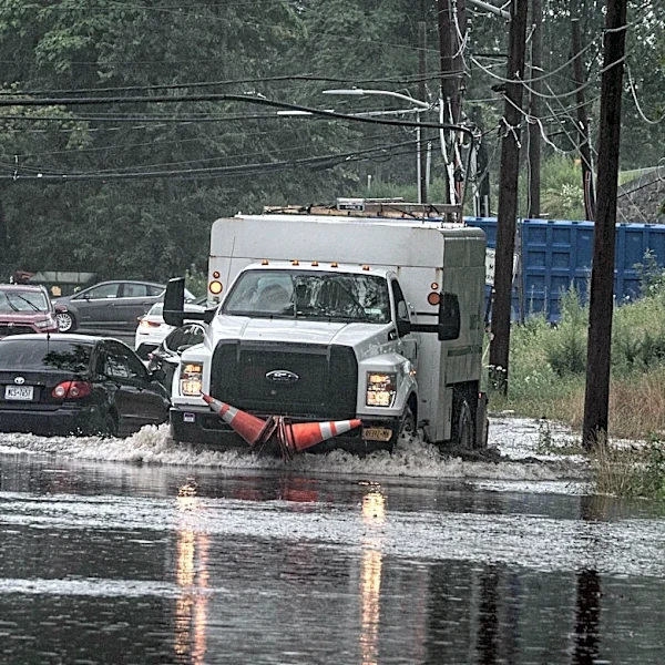
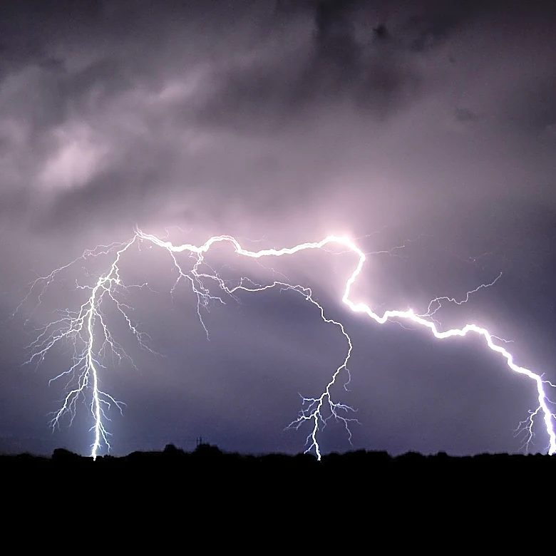
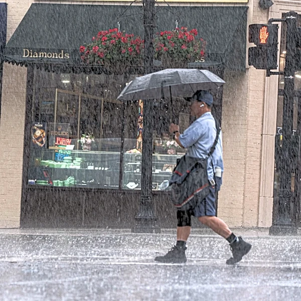
The tri-state area is bracing for multiple waves of strong-to-severe thunderstorms from Tuesday through Thursday, as a meandering front serves as the focal point for storm development. These storms are expected to originate in Western New York and track southeast, impacting regions such as the Poconos, Catskills, Northern New Jersey, and the Hudson Valley before reaching the NYC metro area. The strongest storms could bring damaging winds, isolated flash flooding, hail, and even the possibility of tornadoes. Rainfall rates in the most intense cells may exceed 2 inches per hour, posing localized flooding risks. However, overall rainfall totals are expected to remain under an inch for most areas, with dry intervals between storm waves. Cooler and drier conditions are forecast to arrive by Friday as the front moves southward.